Corydon and Confusion Corner walking guide: routes, stops, and timing
Confusion Corner is the junction where Corydon Avenue, Osborne Street, and Pembina Highway meet. The area links Little Italy, Osborne Village, and nearby residential blocks in Crescentwood and Fort Rouge. This guide sets out walkable loops and stop ideas that fit short and long stays.
Start at Corydon in Crescentwood
From Ruskin Row, Corydon is an easy walk. Morning traffic is lighter, storefronts are open, and parking pressure is low. If you want coffee first, pair this route with our Winnipeg coffee guide.
Walk to Confusion Corner
At Confusion Corner, traffic patterns are complex for first-time drivers. Walking avoids lane confusion. Use marked crossings and wait for full signal cycles; turning traffic can be heavy in peak periods.
Street safety: Keep to marked crossings at Corydon, Osborne, and Pembina. At this intersection, drivers may focus on lane merges more than pedestrians.
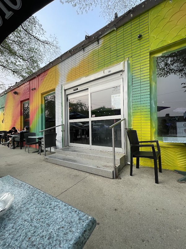
Continue into Osborne Village
North of the intersection, Osborne Village has compact retail blocks, cafés, and bakeries. This section works as a 45- to 60-minute add-on before you loop back south.
Dessert stop and return route
On warm evenings, many visitors return via Corydon and stop for gelato. Our ice cream and gelato guide lists options close to the intersection.
Stay close to the route: Corydon Cute & Stylish puts you within walking distance of Corydon and Confusion Corner so you can explore without driving.